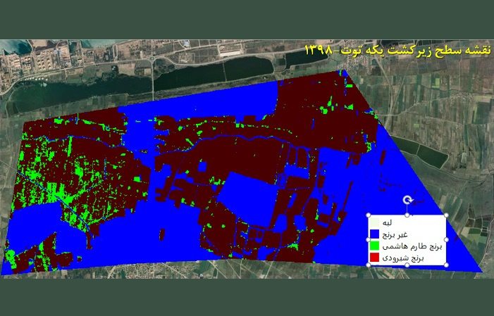
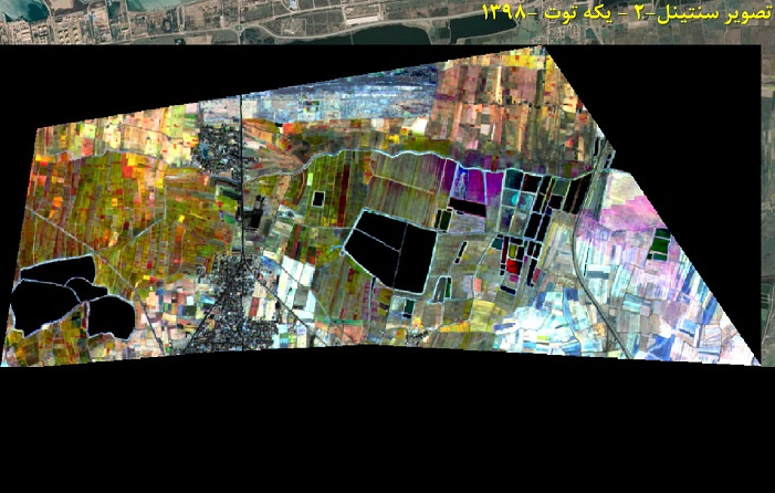
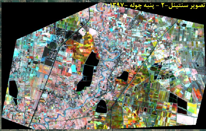
Software for Monitoring the Area under Cultivation of Strategic Rice Crop and Measuring High/Low Crop Yield via Satellite Imagery Launched
Following the launch of the software, Dr. Mahdi Hasanlou, Associate Professor of Surveying and Geospatial Engineering at the UT College of Engineering and the executor of the project, has provided more information about the research project in a recent interview with Hediyeh Mirzayi, UT Public Relations Officer.
According to Dr. Hasanlou, the project was carried out in collaboration with the UT College of Engineering and the National Space and Advanced Transportation Administration.
Dr. Hasanlou noted that rice and wheat are staple crops and accordingly, policymakers and planners around the globe set great store by them in matters of agricultural economics and economic development.
Dr. Hasanlou further explained that the new software provides data that can significantly contribute towards optimum water and fertilizer management, which prove to be more critical than ever at a time when our nation is faced with such grave issues as water scarcity, soil degradation, flooding, dust storms, and crop production decline.
Dr. Hasanlou also revealed that the project took 12 months to complete. He concluded the interview by noting that the Software for Monitoring the Area under Cultivation of Strategic Rice Crop and Measuring High/Low Crop Yield via Satellite Imagery has a wide range of applications and can be used in various fields by both legal entities, such as the Ministry of Agriculture Jihad, Soil and Water Research Institute, the Ministry of Energy, and the Department of Environment, and natural persons, such as farmers, managers of agricultural systems, development planners, scholars, and researchers.


Your Comment :